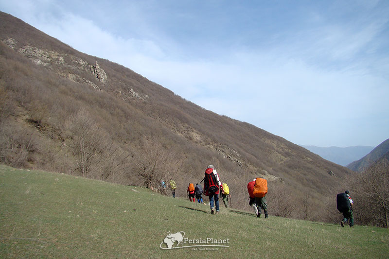
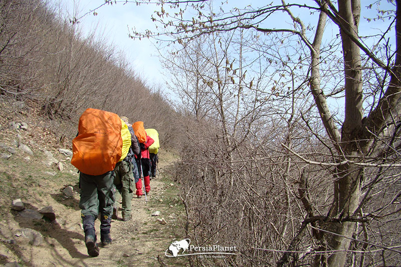
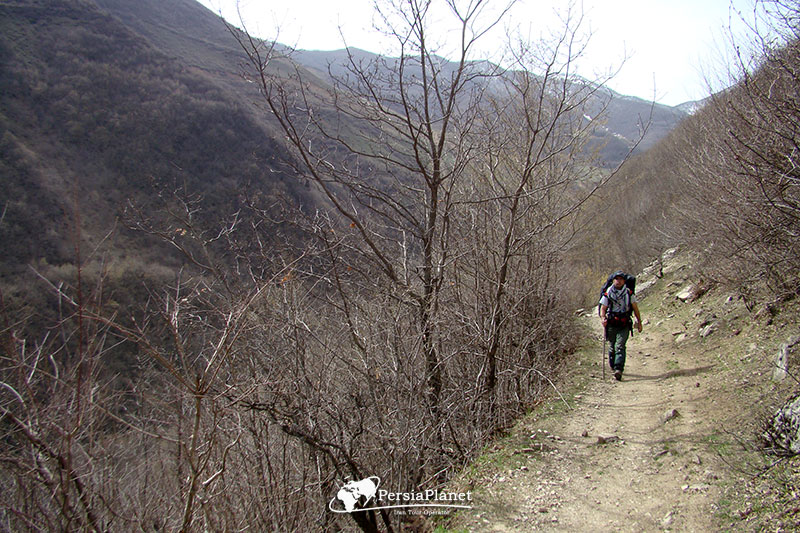
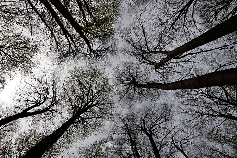
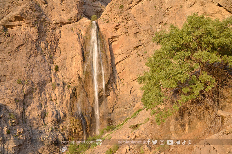
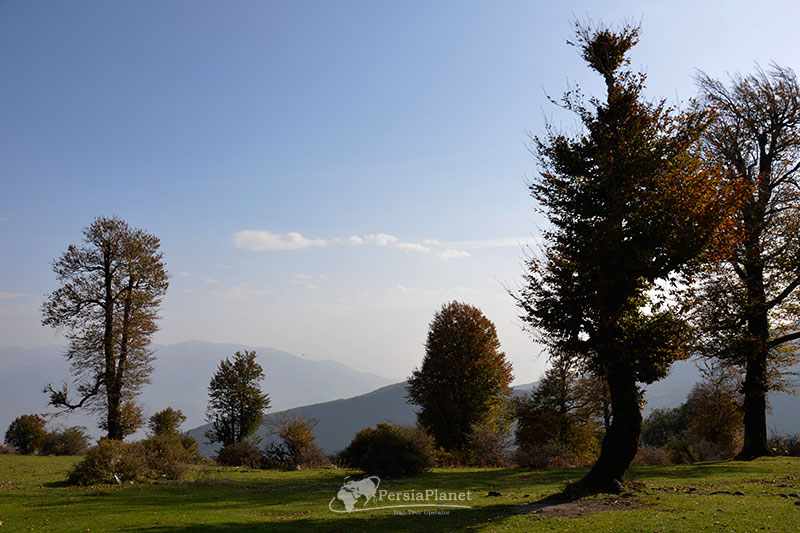
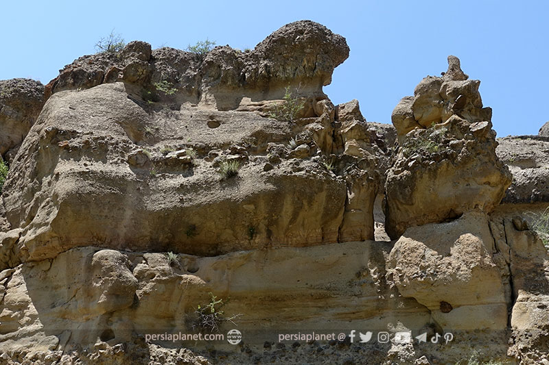
Arasbaran Forest

Kandovan Village
November 5, 2020
Blue Mosque of Tabriz, Masjed Kabod
November 7, 2020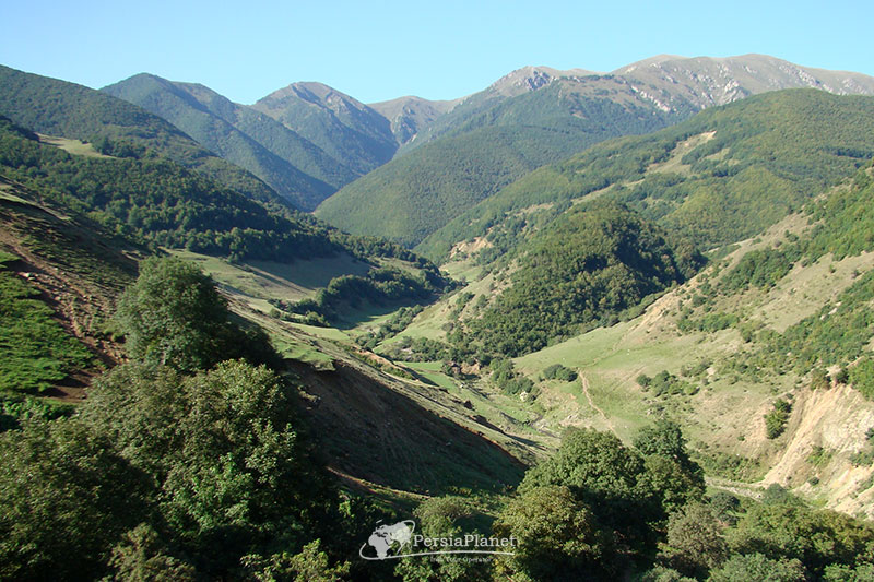
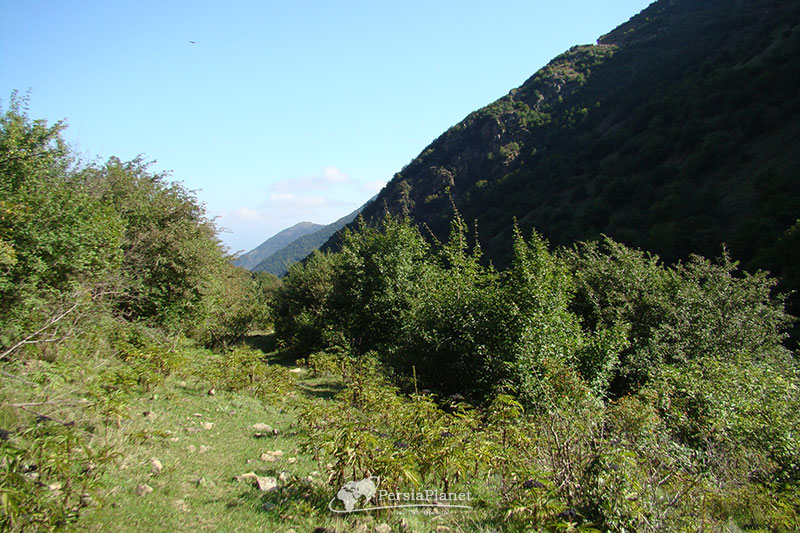
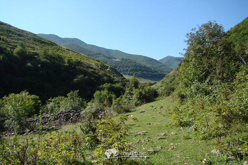
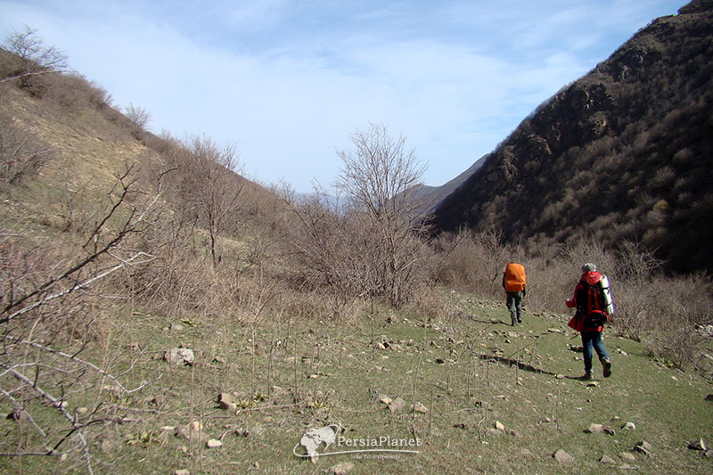
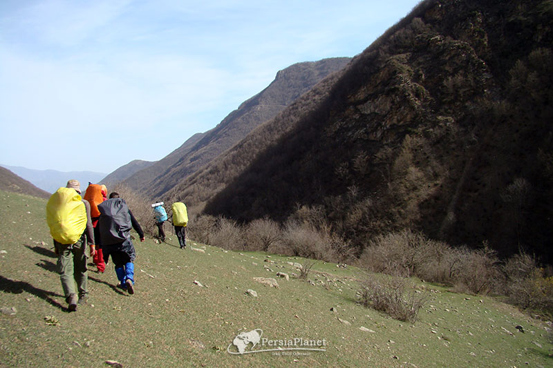
Arasbaran, formerly known as Qaradagh or Qarajeh Dagh, is a vast mountainous region in the north of East Azerbaijan Province, extending from the north of Qusha Dagh Mountain in the south of Ahar to the Aras River.
Arasbaran borders Meshginshahr and Moghan in the east, Sarab in the south, and Tabriz and Marand in the west. The name Qara Dagh is said to have been coined due to the multiplicity of mountains in the region, with the explanation that Qara in the Turkish language signifies multitude, multiplicity and entanglement.
In 1976, UNESCO registered 72,460 hectares of land in the region, ranging from ’40 ° 38 ‘to ‘8 ° 39’ and ’39 ° 46 ‘to’ 2 ° 47 ‘as a biosphere reserve. The general description of UNESCO is that this biosphere reserve is located in the Caucasus Mountains of Iran near the border with Azerbaijan and Armenia. Located between the Caspian, Caucasian and Mediterranean regions, the region includes mountains up to 2200 meters, alpine meadows, semi-arid plains, pastures and forests, rivers and springs. Arasbaran is home to about 23,500 nomads, who generally live in the buffer and transition areas of the area. Economic activities in the habitat include agriculture, animal husbandry, horticulture, beekeeping, handicrafts and tourism, but there are also commercial activities in urban areas.
Mehdi Gholami.