Karkheh National Park

Hur al-Azim Wetland
September 8, 2020
Ghabr-e Nakhoda island
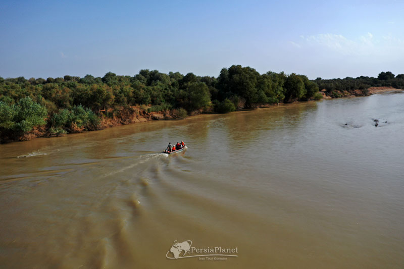
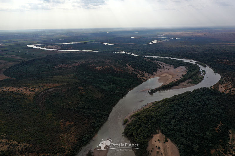
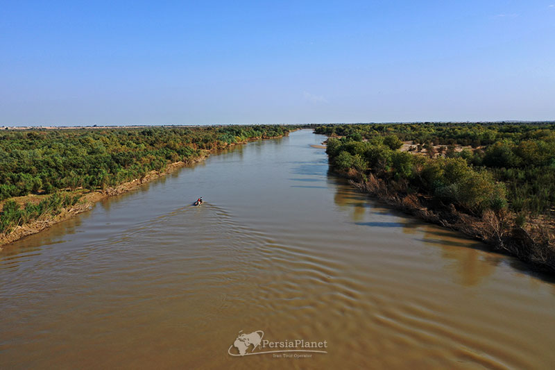
September 9, 2020Karkheh, as one of the important rivers of Khuzestan provinces in IRAN, enters the Khuzestan plain on its way from the mountains of Zagros with a bag full of minerals to create a life full of various animal species. The banks of this river near the city of Susa have been turned into a reserve and national park in order to protect this unique life in Iran more than before.
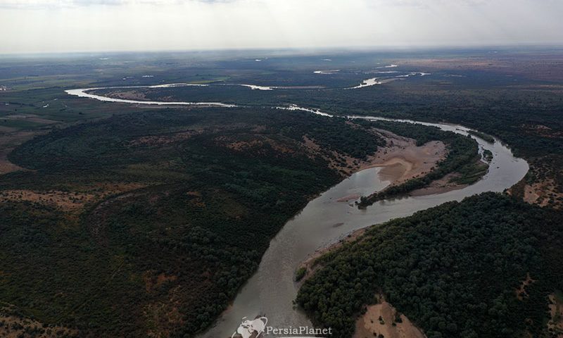
The confluence of the great and important rivers Seymareh river and Kashkan river, which originate from the Zagros Mountains, creates Karkheh, which, after entering Khuzestan province and controlling its floods by the Karkheh Dam, moves south to Khuzestan in a controlled manner. Finally, irrigate the large and spectacular wetland of Hur al-Azim.
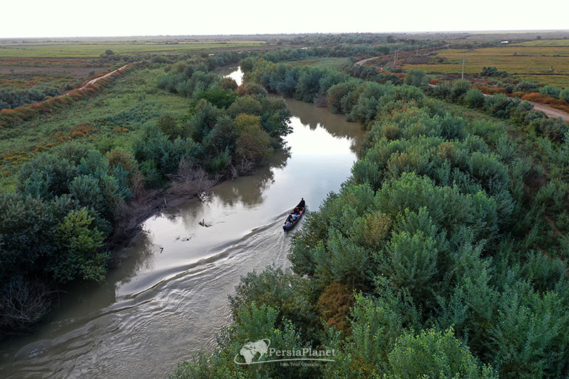
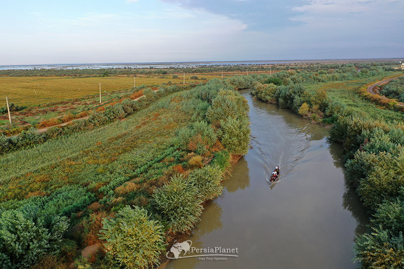
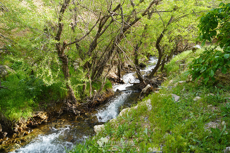
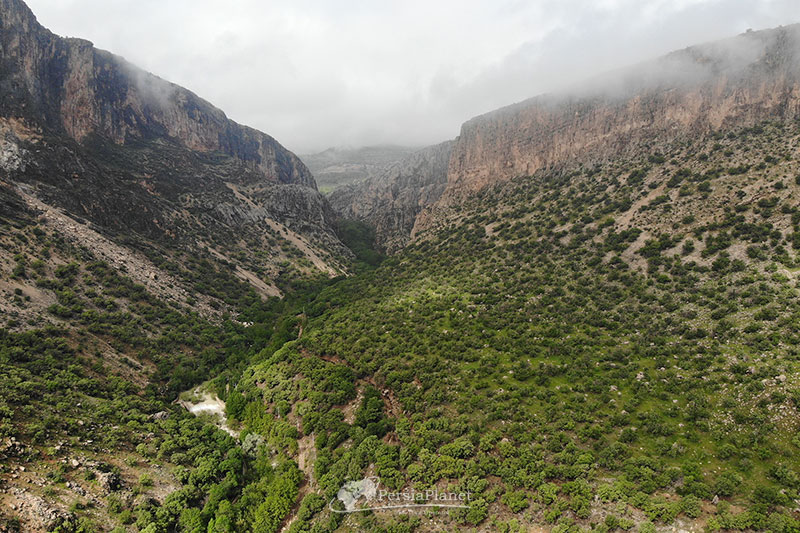
Karkheh National Park and Protected Area consists of a part of hills in the north and a flat part in the south and Karkheh river passes through this area and continues its way to the south and west of Khuzestan province with many twists and turns. On both sides of the area; Tropical forests grow in a completely flat space with no elevation and surround the river. A wide and green landscape that at first glance bears no resemblance to Khuzestan and reminds the viewer of the northern provinces of Iran.
The Persian yellow deer is one of the beautiful mammals of this national park that once went to the brink of extinction, but with a lot of efforts, it has become one of the species living here today. In addition to resident species, many migratory birds; Temporary residents of this area are important.
Visiting this national park requires coordination and obtaining a permit from the Environmental Protection Organization, and the best place to visit it is near the city of Susa and through the care base of this national park.
The best time to visit this national park, which of course is true for all of Khuzestan, is autumn, winter and early spring. Because the heat in spring and summer can be annoying.
Mehdi Gholami.
